Emergency Preparedness & Flood Risk
Emergency Preparedness
While Ontario is a safe place to live and work, emergencies can happen anywhere and at any time. Emergency Management Ontario (EMO) coordinates a system of mutually supportive partnerships that manages emergencies in Ontario.
Each municipality must develop and implement an emergency management program to protect the lives and property of its citizens. The Municipality of Huron Shores has an Emergency Response Plan that is reviewed and renewed annually. Review the current Emergency Response Plan.
Individuals and families are responsible for their own safety, preparedness, and well-being. In the event of a large-scale emergency, entire neighbourhoods may temporarily be isolated from local emergency service providers and utilities. Individuals and families should be prepared to take care of themselves for at least 72 hours in the event of an emergency.
Learn more about how to prepare your family or workplace.
Links:
How to Prepare for an Emergency – Brochure
Emergency Management Ontario – Guidelines in developing a Emergency Plan
The Vulnerable Person Registry
The goal of the VPR is to provide police with quick access to critical information about a registered person so the officer can assist in an emergency situation. When a Vulnerable Person is thought to be at risk, his or her personal information will be shared with relevant organizations, enabling them to quickly respond and provide effective assistance to the registrant.

Vulnerable Persons Registry – Check Eligibility & Register
Flood Risk Assessment
Flood Risk Assessment in Huron Shores
Are you #FloodReady? You might think flooding won’t affect you—especially if you don’t live near water—but floods can happen anywhere, at any time, to anyone.
Learn more: Canada’s Flood Risk Guide.
Understanding Flood Risk in Huron Shores
Flood hazard identification and mapping for high-risk areas is a key part of environmental planning in the Municipality of Huron Shores. This work supports:
- Public awareness of flood risks
- Emergency preparedness
- Updates to land use planning tools (Official Plan and Zoning By-law)
- Long-term resilience against future flood events
Background: Why New Mapping Was Needed
In the 1980s and 1990s, communities across Ontario were mapped under the federal Flood Damage Reduction Program (FDRP), which designated 1:100-year flood risk zones. These maps have guided planning and development decisions for decades—but in Huron Shores, they were limited in both geographic coverage and technical detail, and had not been updated since their creation.
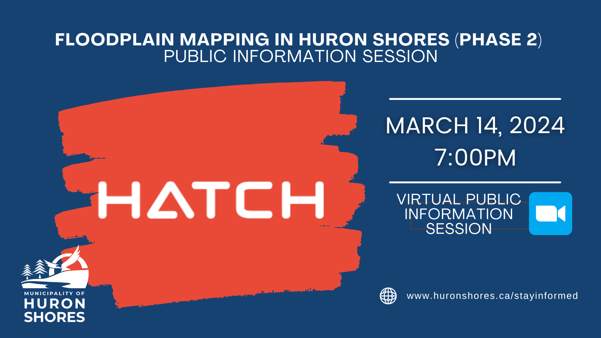
To address this gap, the Municipality of Huron Shores launched a flood risk assessment initiative in 2021, supported through Stream 1 of the National Disaster Mitigation Program (NDMP). Engineering firm Hatch Ltd. was retained to provide a comprehensive, modern assessment of flood risk in priority areas.
The project used advanced tools and data collection, including:
- Bathymetry and LiDAR analysis
- Hydrology and hydraulic modeling
- Quantitative risk assessment
- Community risk and vulnerability mapping
Public Information Sessions were held on February 17, 2022 and September 8, 2022 to share preliminary results and gather input.
Council Decision – October 2022
On October 26, 2022, Council adopted the 2022 Inland Flood Line Interpretation Report as the new “engineered flood lines” for the purposes of Section 4.11 of Zoning By-law #18-18, replacing outdated mapping in the Official Plan.
Supporting documents include:
- Flood Risk Assessment Report by Hatch Ltd
- Inland Flood Line Interpretation by Municipal Planner for the Municipality of Huron Shores, Peter Tonazzo.
- Motion 8.1.1., Resolution 22-24-02, Flood Risk Interpretation Report
Draft mapping and technical data were released in February 2024, including:
- Flood Risk Assessment Report by Hatch Ltd
- Inland Flood Line Interpretation by Municipal Planner for the Municipality of Huron Shores, Peter Tonazzo.
- Motion 8.1.1., Resolution 22-24-02, Flood Risk Interpretation Report
Floodplain Mapping Technical Report
- Pickerel Creek Floodplain Map
- Mississaugi River Floodplain Map
- Little Thessalon River Floodplain Map
- Thessalon River Floodplain Map
- Bright Lake Floodplain Map
- Bolton River Floodplain Map
Listen in to the Municipality’s annual Mississagi River Monitoring Committee meeting. Usually held the first Thursday in April each year. These meetings provide updates on the state of the river flows and updates on current water levels. For more information or to listen in, email the Municipal Office for information at email@huronshores.ca.
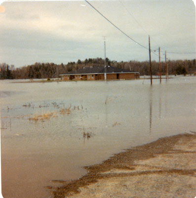
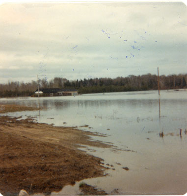
Historical Data
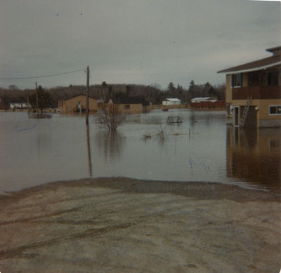
1979: Major spring flooding hit Iron Bridge, forcing the evacuation of over a dozen homes in a lower section of the village when the Mississagi River overflowed its banks. Water reached depths of 5 feet outside homes on Mississauga Crescent.
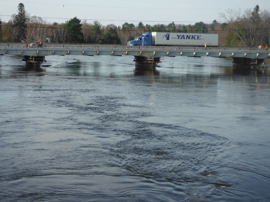
2013: Huron Shores Declares a State of Emergency, further information available here.
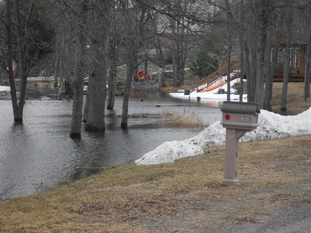
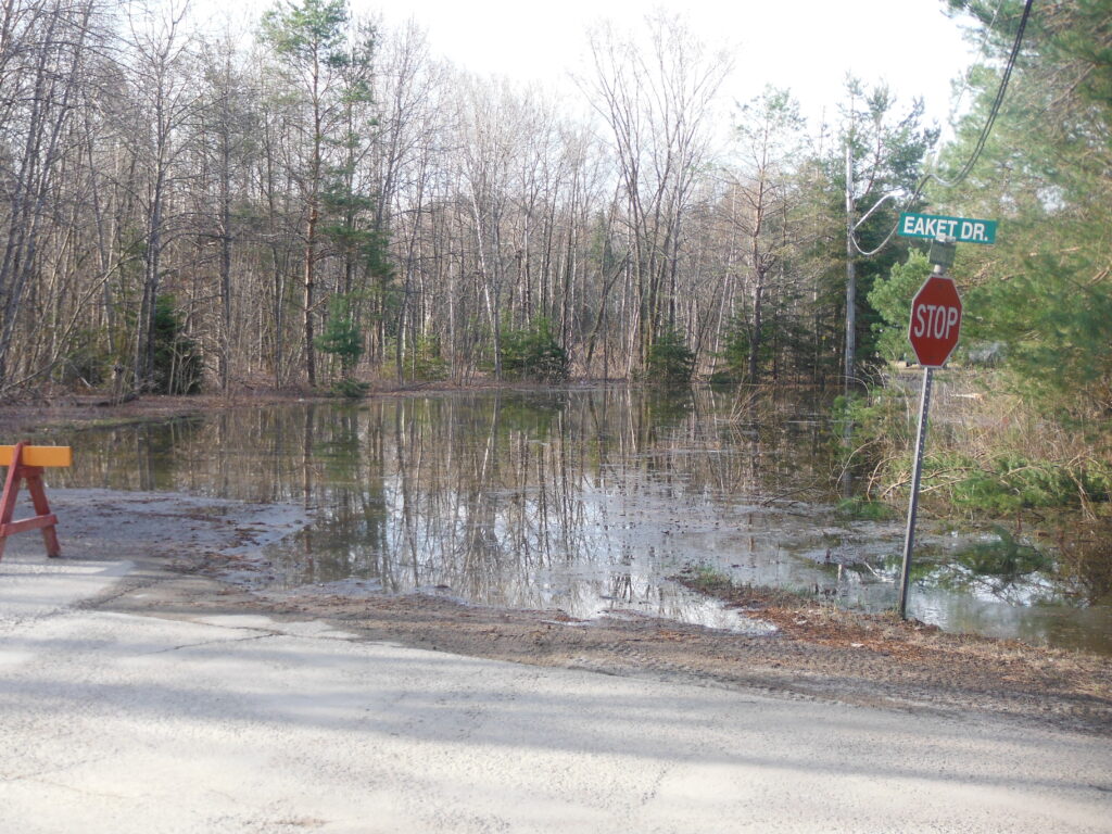
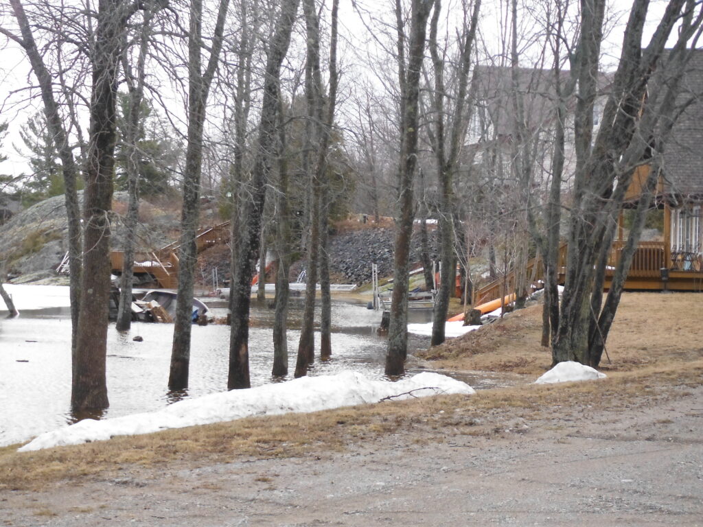
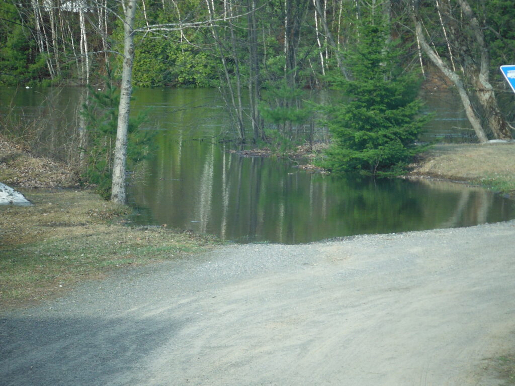
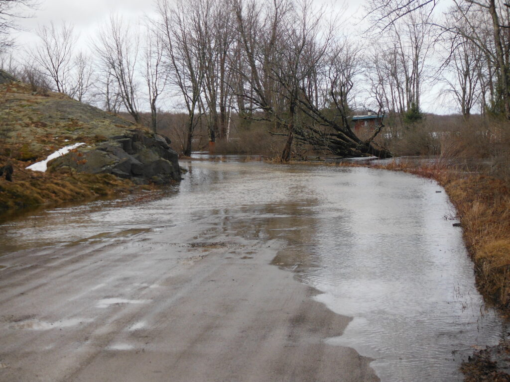
2019: Municipality of Huron Shores under flood advisory https://www.saultstar.com/news/local-news/huron-shores-hit-by-flooding